
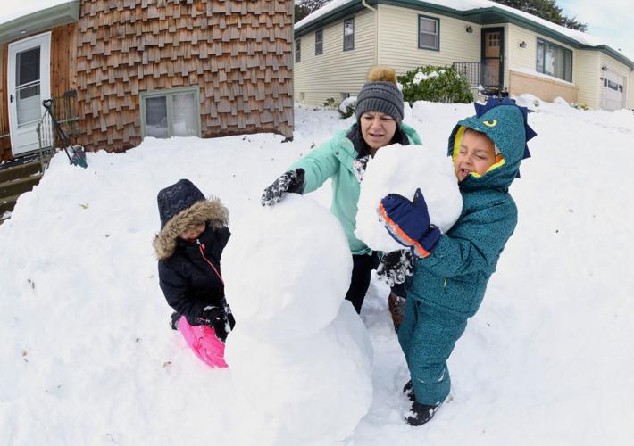

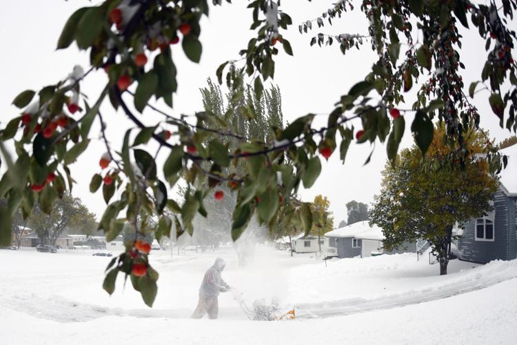
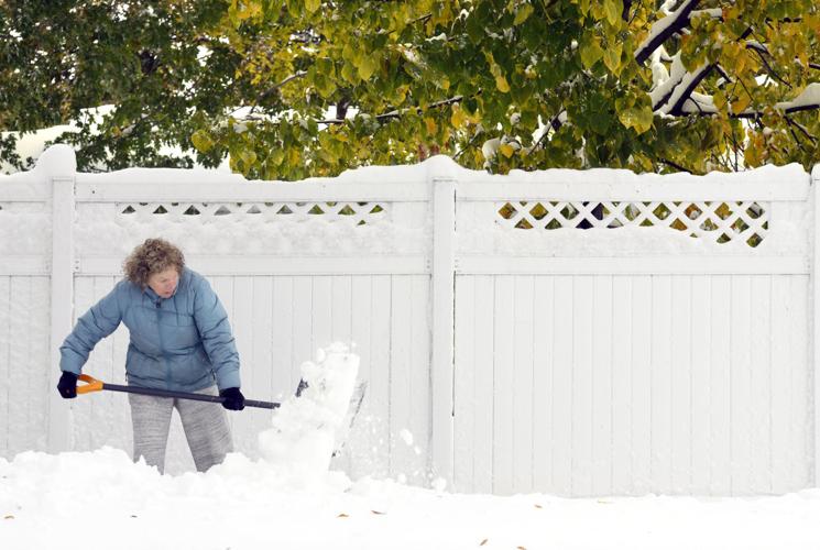


A record-setting four-day fall snowstorm moved out of North Dakota on Sunday, leaving behind historic amounts of snow in some areas.
Bismarck got 17.1 inches of snow and set daily records for snowfall on Thursday, Friday and Saturday -- on Friday breaking a record that had stood more than a century, according to the National Weather Service. The 11.6 inches that fell between 7 a.m. Thursday and 7 a.m. Friday set a Bismarck record for one-day, 24-hour total snowfall in October.
To set so many records in such a short period of time is "pretty unusual," weather service meteorologist Bill Abeling said.
To the northeast, the storm went beyond unusual to extreme, with snowfall totals reaching as high as 30 inches in Harvey, a city of about 1,700 people. In those areas, "if you wanted to label it historic, I wouldn't argue with you," Abeling said.
People are also reading…
All of the main streets in Harvey had been cleared by late Saturday, but it wasn't an easy task, according to City Councilman Milo Baltrusch.
"There was a snowbank by the grade school, it must have been 10, 12 feet high," he said.
The storm came in two waves -- the initial system moving out of the Pacific and the second out of the Rockies. It shut down highways including Interstate 94 between Bismarck and Fargo, led to dozens of accidents in the Bismarck-Mandan area and caused numerous flight delays and cancellations.
All highways had been reopened by Sunday, and no winter weather warnings or advisories remained in effect. All flights at the Bismarck airport were on time. The PowerOutage.us tracking site listed only 40 people without power statewide.
"The snow is done, the sun is shining, everybody is digging out," Baltrusch said.
Another system could bring freezing rain or a rain-snow mix on Monday, but forecasters don't expect much additional precipitation, according to Abeling.
"This particular system is going to be faster and weaker than this big storm that hit us," he said.
After that, a warm-up is in store. High temperatures late in the week could reach into the 40s in central North Dakota and into the 60s in the west.
"That will start the melt," Abeling said.
It also will bring concerns about flooding, given the saturated ground from an overly wet September.
"Hopefully the temperatures in the 40s and 30s will result in a slow-enough melt that there won't be any flooding," Abeling said.


