With beautiful views of the Rocky Mountains and many trails within easy driving distance, there’s no shortage of great hikes near Denver to explore.
No matter what direction you go from Denver, the scenery will make you feel like you’ve entered an alternate universe. And, sure, you can see a lot of gorgeous views from the comfort of your vehicle, but there’s nothing like experiencing the Colorado wilderness on foot.
Based on our research, we’ve gathered this list of some of the more popular hikes near Denver. These hikes have varying levels of difficulty, from easy to hard, and range from a 20-minute to a 2-hour drive from Denver. So pack your day hiking essentials, and get ready to explore the Colorado Front Range.
Note: Due to COVID-19, there may be additional closures, regulations, or reduced amenities. Be sure to check ahead for current closures and any necessary reservations before you head out for the day.
10 Best Hikes Near Denver, Colorado
Green Mountain and Hayden Trail Loop

This hike gives you not only breathtaking views of the Rockies to the west but also skyline views of the city of Denver to the east. Located only 20 minutes away from the city center, this is an excellent hike if you don’t want to overexert yourself or if you just want to make it back to the city in time to have dinner at a restaurant patio.
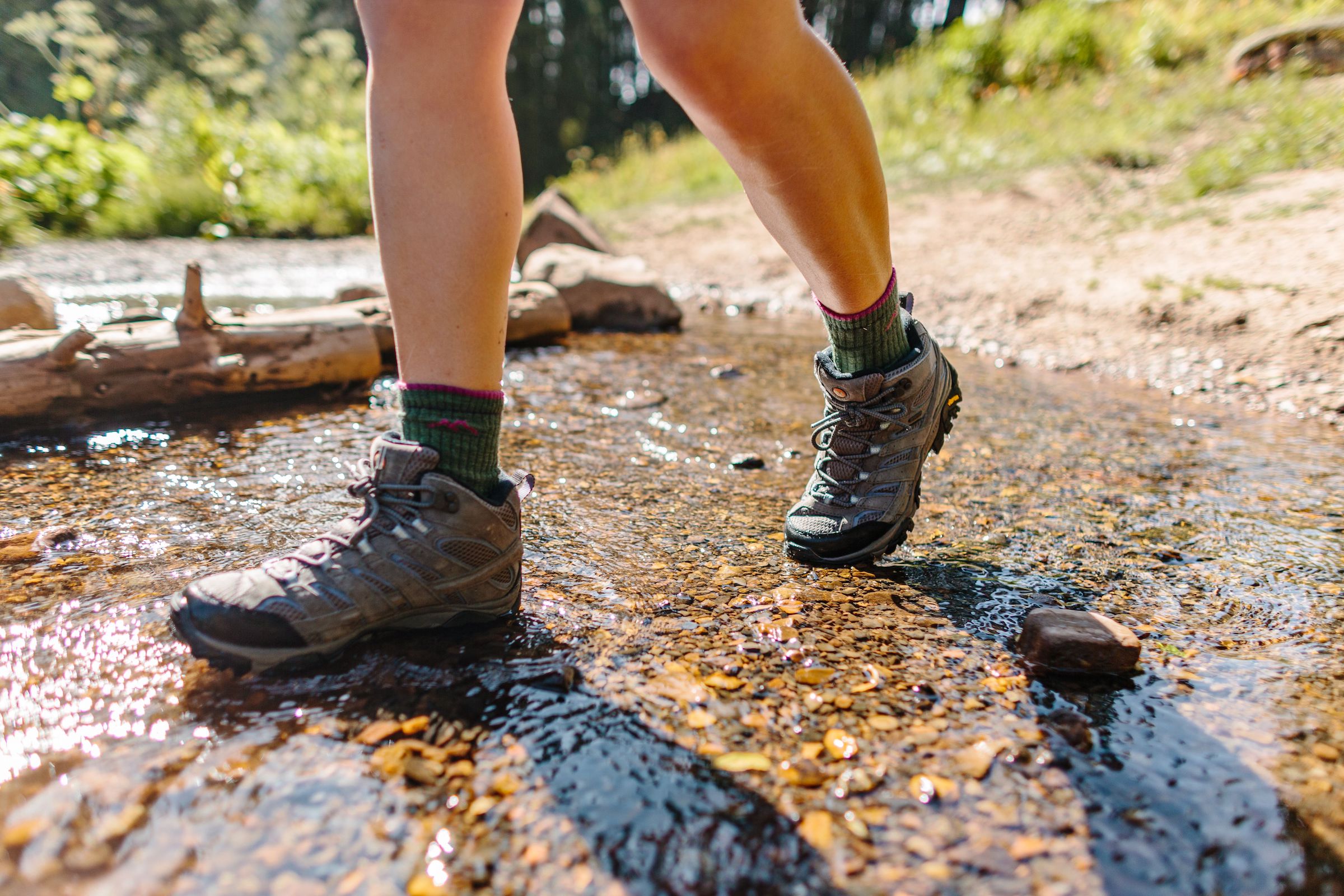
The initial ascent on this loop is moderate, so you’ll want some good quality hiking shoes. Once you’re past that, the rest of the hike should be smooth sailing. The majority of the trail is sunny, meaning the trail is usually dry, with the added bonus of wildflowers in the spring.
On days when many trails become inaccessible due to snow, rain, or mud, this trail is normally accessible, making it a good year-round hike. Of course, there may be some mud after it rains, so be careful not to slip. And in the warmer weather, while basking in the beauty, be aware of your surroundings — hikers have spotted rattlesnakes on these trails.
Leashed dogs are allowed. However, the trail is very popular for hikers and mountain bikers, so make sure your four-legged companion is on their best behavior. If you park at the Rooney Lot at Green Mountain, you will have access to temporary restrooms. The parking lot can fill up, so consider going in the early evening or perhaps near sunset. For any live updates, you can check out @TrailsLakewood on Twitter.
Location: William F. Hayden Green Mountain Park
Drive time: 20 minutes from Denver
Distance: 3.2-mile loop
Difficulty: Easy
Elevation gain: 633 feet
Upper Mule Deer Trail

If you want to experience the beauty of Colorado aspen trees in the autumn and the serenity of this open space in any season, this trail takes you through dense pine forests and open meadows of this state park. Begin at Oak Knoll Trailhead, which has restrooms and parking, and hike along the Upper Mule Deer Trail. Make sure to bring $9 in cash to pay for parking. Or, if you have a Colorado State Park Pass, you won’t need to pay the day-use fee.
While there are some rocky sections of trail, the trail climbs gradually, making for a not too difficult hike. Leash up your dog and be sure to bring plenty of water for both of you. Reviewers say that this trail is extremely well-marked, making for worry-free navigation. The hike itself is a mix of sun and shade as you hike through the trees and meadows. Keep an eye out for wildlife — maybe you’ll see a wild turkey or, as the name suggests, a mule deer!
Location: Golden Gate Canyon State Park
Drive time: 50 minutes from Denver
Distance: 3.7-mile out-and-back
Difficulty: Easy
Elevation gain: 501 feet
Red Rocks and Morrison Slide Trails

Venture to Red Rocks Mountain Park to hike among some of the loveliest red rock formations that Colorado has to offer. If hiking the Red Rocks Trail first, you will start your hike on a steady incline. Go as slow as needed and take in the beautiful views and the striking red rock formations.
If you ascend the Morrison Slide Trail, this hike will be moderately difficult. But if you want a slightly easier hike, ascend the Red Rocks Trail, then descend the Morrison Slide Trail.
No matter which way you choose to hike this loop, be sure to stop at the many overlooks to take in the breathtaking views of the surrounding area. And if the day ends up being overcast, well, the overcast sky makes the red rocks even more vibrant! However, on most days for this hike, you should go all out with sun protection. Wear a hat, sunglasses, and sunscreen, as the majority of the trail is directly in the sun.
There’s a small parking lot right by the trailhead. The lot does fill up, so it’s best to get your day started early if you want to snag a parking space, especially on the weekends. If that lot is full, you can park in the other many Red Rocks lots.
Take the distance that it takes to walk from the lot to the trailhead into account. If all else fails, there is also limited street parking available. Dogs are allowed, but they need to be leashed. While there are no restrooms right by the trailhead, you can drive to the Red Rocks Amphitheater to use the restroom if needed.
Location: Red Rocks Mountain Park
Drive time: 25 minutes from Denver
Distance: 3-mile loop
Difficulty: Moderate
Elevation gain: 679 feet
Windy Saddle Lookout Mountain Trail

This destination is the perfect escape from Denver for a quick hike. Who says you need an entire day to get out into the mountains? Windy Saddle Park is so close to Denver that you can easily squeeze in a post-work hike in the summer. And you’ll be treated to wonderful views from the moment you park your car.
The Lookout Mountain Trail will take you to the top of the mountain to — you guessed it — look out over the mountainous surroundings. The overall verdict from those who have hiked this trail is that the first half is stunning while the second half is just alright. So if you find yourself wanting to cut it short, you can easily turn around at any point. Just make sure you take in the views and enjoy the shade before you head back down.
As it goes with the majority of Colorado trails, dogs are allowed if they are leashed. (Coloradoans love their dogs.) With that, it’s important to note that the trail is rather narrow. There are restrooms and drinking water fountains at the Windy Saddle Trailhead and parking lot. The trail is best between April and October.
Location: Windy Saddle Park
Drive time: 30 minutes from Denver
Distance: 4.4-mile out-and-back
Difficulty: Moderate
Elevation gain: 705 feet
Eldorado Canyon Trail

First off, you can thank Taylor VanAllen for raising funds back in 2016 for trail maintenance and anchor placements for climbers in Eldorado Canyon State Park. How’d he raise funds? Well, he just casually slacklined across this spectacular canyon, a mere 500 feet in the air. Though you won’t reach such gravity-defying heights on your hike, you will enjoy memorable views of Eldorado Canyon and the surrounding area.
The day-use fee to get into Eldorado Canyon State Park is $10 per vehicle fee, payable in cash or by card. When the parking lot is full, they will turn you away. With that info in mind and if you have it in you, channel your early bird and arrive just before sunrise. You should get a parking spot, plus you’ll beat the intense afternoon sun’s rays. There are picnic tables at the trailhead, and the small visitor center has drinking water and restrooms.
Along the trail, you will hike alongside peaceful streams and through shaded pine forests. The trails are very well-marked. The Eldorado Canyon Trail does have some rocky sections and steeper inclines, all of which are very manageable if you take your time.
As an out-and-back hike, you can turn around at any point to customize the length of your hike. Leashed dogs are allowed on this trail. Before or after your hike, you can take a walk through the quaint town of Eldorado Springs.
Location: Eldorado Canyon State Park
Drive time: 45 minutes from Denver
Distance: 7.5 miles out-and-back
Difficulty: Moderate
Elevation gain: 1,954 feet
Lake Isabelle Trail

A visit to Brainard Lake Recreation Area can give you a taste of everything magical about being outdoors in Colorado. A trip into Indian Peaks Wilderness won’t disappoint. And on the hike to Lake Isabelle, there are waterfalls and wildflowers. And maybe you’ll even get a glimpse of some wildlife.
The Lake Isabelle Trail begins in the Brainard Lake Recreation Center at the Long Lake Trailhead, and the rest of the trail is in Indian Peaks Wilderness. The hike itself is rather long, but the trail remains moderate throughout. My 50-year-old mother — who loves nature but doesn’t hike often — had a wonderful time hiking this trail. More experienced hikers can continue past Lake Isabelle to the Isabelle Glacier. The trail is rather narrow at times, and it goes in and out of the shade, so wear sunscreen and possibly a hat.
There are bathrooms and water fountains near the parking lot, but make sure you bring a water bottle. Leashed dogs can use this trail. For optimal hiking conditions, visit Lake Isabelle from June to October. If you visit during the off-season, you can use the winter hiking trail for a snowshoe or nordic ski option.
There’s a $12 fee (cash only) to enter the area, but if you have a National Parks Pass, entry is free. Lake Isabelle Trail is located near Nederland, Colorado, a small mountain town with a population of fewer than 2,000 people, that has numerous options for good food and coffee after your hike.
Location: Brainard Lake Recreation Area (Indian Peaks Wilderness)
Drive time: 1 hour and 30 minutes from Denver
Distance: 8.6 miles
Difficulty: Moderate
Elevation gain: 987 feet
Emerald Lake Trail

Note: Due to COVID-19, an entrance pass and timed entry permit are required to enter all areas of Rocky Mountain National Park.
The scenic hike to Emerald Lake in Rocky Mountain National Park begins at Bear Lake Trailhead and is best from April to November. Once you pass the trailhead, you’ll see signs to the left to begin the hike on the Lake Isabelle Trail. Starting in the early morning is a great idea for this destination, as it can become extremely crowded. Along with that, the morning light reflecting off the water and pond lilies of Nymph Lake is unbeatable.
As you continue on from Nymph Lake to Dream Lake, you will be treated to endless wildflowers, in season. If you want to stop at 2 miles, you can make your final destination Dream Lake. But if you want to continue soaking in the natural beauty for a while longer, keep hiking on to Emerald Lake.
There are restrooms at the trailhead. Bring plenty of water to stay hydrated throughout the hike — looking at all the beautiful lakes will surely make you thirsty. And leave your four-legged hiking companion at home for this one. Dogs are not allowed on any trails in Rocky Mountain National Park.
Location: Rocky Mountain National Park
Drive time: Almost 2 hours from Denver
Distance: 3.5-mile out-and-back
Difficulty: Moderate
Elevation gain: 650 feet
Mount Morrison South Ridge Trail

Now for the intense stuff. Colorado is the place to be for hikes that will challenge you. Typically, the more difficult hikes are farther away from Denver. But the Mount Morrison South Ridge Trail is only 25 minutes away from downtown and has some of the best hiking near Denver.
While the hike is relatively on the shorter side, the elevation gain of nearly 2,000 feet makes the hiking difficult. To get to this hike, enter at Red Rocks Entrance #4. The first half of the hike is the most challenging.
You’ll need to be prepared to go up a ridge and continue climbing the switchbacks until you get to the other side. We’d recommend good hiking shoes and hiking poles. With that, bring water and maybe even a refreshing snack, like an apple, to reward yourself after you get through the first half.
While it may be good to get an early start, if you choose to begin the hike in the dark, be sure to bring a headlamp, as the first portion of the trail is rocky and steep and would be difficult to navigate in the dark.
Once you reach the top, you’ll have views of Denver’s Front Range including Mt. Evans, the Continental Divide, and the city. And the park is located right behind Red Rocks Amphitheater, which is an absolute must-see while staying in Denver.
Leashed dogs are allowed, but because of the technical rock scaling near the end of this hike, only bring your dog if you’re confident they can handle this terrain. A good portion of this hike has no shade, so plan accordingly.
Location: Matthews Winters Park
Drive time: 25 minutes from Denver
Distance: 3.8-mile out-and-back
Difficulty: Hard
Elevation gain: 1,873 feet
Elk Falls and Chimney Rock Trail

Staunton State Park is Colorado’s 41st state park, opening to the public in 2013. It’s home to a rich and diverse community of wildlife and plant species.
This hike is the longest one on the list and features a stunning waterfall. It’s less crowded than most trails at Staunton, making for a peaceful yet challenging hike near Denver. The trail is not too steep and has very clear signage.
Be aware that there’s a constant change in elevation throughout this hike — pace yourself accordingly. Though this hike is rated as difficult because of the elevation gain and length, the trail surface is rather moderate, with no scrambling and minimal rocky sections.
Pack your lunch and enough water so that you can stop at the falls in the middle of your hike and enjoy your surroundings. There’s an upper parking lot and a lower parking lot; both require a $9 parking pass. There are numerous restrooms at each parking lot. Dogs are allowed in Staunton State Park as long as they’re leashed.
Location: Staunton State Park
Drive time: 50 minutes from Denver
Distance: 14.5-mile out-and-back
Difficulty: Hard
Elevation gain: 2,398 feet
Grays and Torreys Peaks

Grays and Torreys Peaks is one of the many famous Colorado 14ers. This hike begins at the Grays Peak Trailhead. There’s a road that leads to the upper trailhead, and it’s rough terrain. The road is doable if your vehicle has AWD or 4WD and OK clearance. Take it slow and you’ll be just fine. If your car isn’t capable, you’ll need to park in the lower lot, which will add 3 miles to your hike.
Sure, this trail is close enough to make a day trip. But if you want an extended outing or maybe just a full night’s rest before venturing up the mountain, there are a few dispersed camp spots at the upper trailhead. If your dog is as fit as you are, go ahead and bring your best companion along for the hike — as long as they’re leashed. Get an early start, even on weekdays, to secure a parking spot at the upper trailhead. There are restrooms at the upper trailhead near the camping areas.
You’ll start this hike through meadows and wildflowers, traveling alongside a stream. Enjoy this easy start as the upper portions of the trail are rocky, and you’ll have to watch your footing. The views from the top of the two peaks are outstanding. The hard work will be well worth it. Bring layers, as the higher you get, the more wind there will be. Some hikers have even been lucky enough to see baby goats near the summit! In total, the excursion up and back will take you anywhere from 4 to 8 hours.
Location: Arapahoe National Forest
Drive time: 1 hour and 20 minutes from Denver
Distance: 9.7-mile out-and-back
Difficulty: Hard
Elevation gain: 3,684 feet
Frequently Asked Questions
How do I prevent altitude sickness?
Going hiking near Denver inevitably means that some people will get altitude sickness, whether with extremely mild symptoms or potentially serious symptoms. If you pay attention to how you’re feeling as you gain elevation, you can more than likely bypass any serious symptoms.
The main symptoms of altitude sickness include headache, dizziness, nausea, and shortness of breath. If you begin to experience symptoms such as confusion, an inability to walk, or shortness of breath even when at rest, seek medical attention.
There are a few things you can do to help prevent altitude sickness when hiking near Denver or in Colorado in general. The best way to avoid altitude sickness is by allowing your body to acclimatize as you gain elevation. When hiking, especially if you’re climbing a 14er, go slow, take deep breaths when needed, and drink plenty of water. If you start feeling symptoms of altitude sickness, turn around and head to a lower elevation.
Does it storm in the summer in Colorado?
When hiking in Colorado, be aware that lightning storms that can happen fairly often in the summer months. Sometimes, the storms can be rather unexpected. Start early and keep an eye on the weather. Typically, the storms don’t last long.
Is there any hike where my dog can be off its leash?
There aren’t many trails where dogs are allowed to be unleashed. However, Colorado is home to many open space dog parks. These include Elk Meadows Park, Glendale Open Space Park, and Cherry Creek State Park, to name a few.
What are the best 14ers to hike in Colorado?
We’ve compiled a list of the top 10 Colorado 14ers. The list includes Mount Elbert, Capitol Peak, San Luis Peak, and others. When hiking a 14er, it’s important to know what essential gear you need. For starters, you’ll need a first-aid kit, a headlamp, a trail map, hiking shoes, and plenty of food and water in order to successfully bag your first 14er.