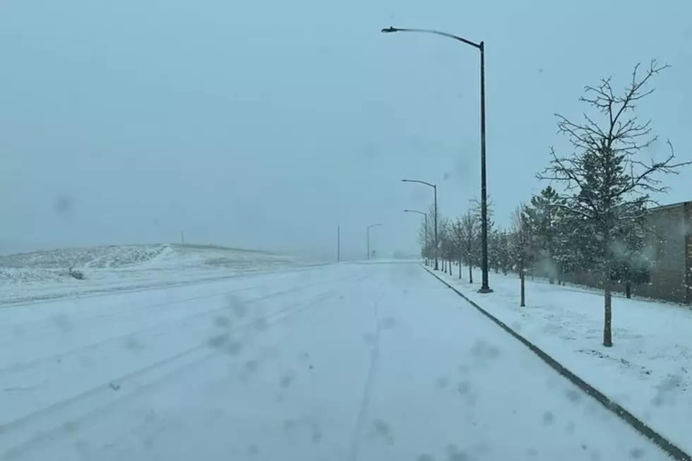
A Little Bit Of Everything In SE Wyoming Weather Forecast
It looks like southeast Wyoming residents can look forward to everything from warm spring days to thundershowers and mountain snow this week, according to the Cheyenne office of the National Weather Service.
The forecast for today (Tuesday) looks like this:
'Here's the forecast for today and tonight across southeast Wyoming and Nebraska Panhandle. Initially dry this morning with mostly cloudy skies. A low pressure system to our west will begin to move into the area this afternoon and evening, increasing rainshower and thunderstorm chances from west to east. Highs today will range from 58 at Rawlins to 69 at Bridgeport. Rainshowers expected to continue overnight with mostly cloudy skies across the area. Overnight lows will range from 32 at Laramie to 42 at Chadron."
But the outlook for the next few days is unsettled:
Here's a look at the weather across southeast Wyoming and Nebraska Panhandle through the upcoming weekend. Initially unsettled Wednesday as a low pressure system tracks across Colorado. Our western areas (west of Laramie Range), are likely to see mountain snow above 8500 feet, with a rain/snow mix below. Eastern areas should remain dry for Wednesday. Nicer weather expected Thursday into Friday as high pressure moves through the area. Next cold front begins impacting the area late Saturday with increasing clouds through the day. Not before we come close to 80 in the Nebraska Panhandle Saturday afternoon though, with mid 60s out west. This front will bring increasing chances for late afternoon/evening showers and thunderstorms across the area as it moves through. Finally Sunday, most areas are going to see colder temperatures. A rain/snow mix expected for areas west of the Laramie Range, with rain east. Enjoy Friday and Saturday though, warmest temperatures of the year so far expected!
More From KGAB