Politics & Government
New Chesapeake Bay Bridge Options Provoke Debate
State highway officials have mapped out 14 possible locations for a second Chesapeake Bay Bridge. What do you think works best?

ANNAPOLIS, MD — While state transportation officials won't present options on where a second Chesapeake Bay Bridge could be built until spring, the release of map drafts with 14 possible locations has provoked plenty of discussion. Baltimore County Delegate Robin Grammer posted a link on his Facebook page to the scenarios under consideration by state and federal highway officials. They range from a northernmost bridge running from Aberdeen to Cecilton, three Baltimore County jumping-off points that reach to Church Hill or Centreville, or a southernmost span from the Patuxent Naval Air Station to the Somerset area.
The site maps prepared by the Maryland Transportation Authority and the Federal Highway Administration can be found online. "Please let the state of Maryland know how you feel about options four and five," Grammer wrote on Feb. 8.
In August 2016, Gov. Larry Hogan ordered the Maryland Transportation Authority to explore options for a second Chesapeake Bay crossing as way to improve life for farmers, vacationers, business owners and residents. On a typical summer Sunday, 96,000 vehicles cross the bridge; by 2040 the traffic count could increase by 30 percent, he said.
Find out what's happening in Annapoliswith free, real-time updates from Patch.
State analysis determined the existing Bay Bridge spans would last through 2065. By 2040, daily backups in the eastbound direction could extend 13 miles in the summer, with 14-mile backups in the westbound lanes, the governor said. The state analysis of the Bay Bridge shows that the vital structure is good for another 50 years of use with regular maintenance and repairs.
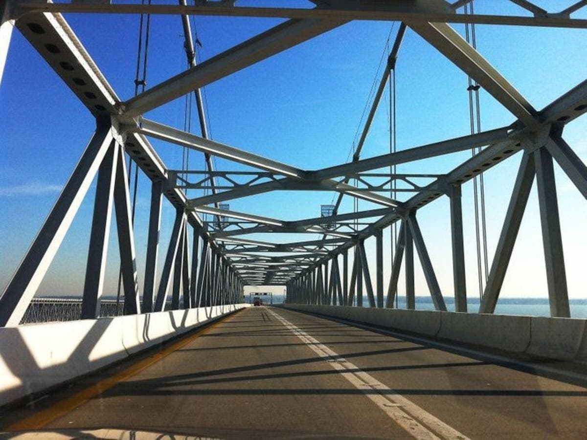
The two spans of the Gov. William Preston Lane Jr. Memorial Bridge were built in 1952 and 1973, and link Sandy Point near Annapolis to Kent Island.
Find out what's happening in Annapoliswith free, real-time updates from Patch.

Which route do you think makes the most sense for another Chesapeake Bay bridge? Tell us in comments.
Residents from across Maryland have commented on Grammer's Facebook page, with those in his southeastern Baltimore County district mostly opposed to building the bridge in the area because of increased traffic worries. "This would be disastrous for those of us in Essex who use 702, 695, and I-95 to travel daily to work, school, and other locations," commented Constance Carson. "Can you imagine dealing with the traffic? We are already thinking of moving and this would be the icing on the cake."
And many residents said option 6, starting in the Pasadena area, would bring too much traffic onto already gridlocked roads.
“Folks are going to organize against this,” Anne Arundel County Executive Steuart Pittman told WTOP of several routes that would go through the county, especially routes through the southern half of the county to Talbot County. “(If) you tell any of these communities along these routes that you’re going to stick a highway through them and take their coast and put a bridge off of it … you’re going to have a revolt on your hands.”
Some Kent County residents said they don't want the bridge and additional visitors in their area. "No Bay Bridge to Kent County! (options 2-6) If we wanted to live in the suburban culture of Baltimore or Washington, we would move to the western shore," posted Trudy Anderson. "We like our slower way of life here, just the way it is. Why do you think people travel to Chestertown, Rock Hall, and the rest of Kent County to escape the hustle and bustle of the Baltimore-Washington megalopolis?"
John Sales, spokesman for the MDTA, told media outlets that the maps are preliminary and the agency did not release them. "The pre-decisional maps that are part of the Bay Bridge Tier 1 NEPA process are just that, pre-decisional," Sale told DelMarvaNow. "The MDTA is working toward formal presentations of the proposed alternatives and that is scheduled to happen this spring."

(For more news like this, find your local Patch here. If you have an iPhone, click here to get the free Patch iPhone app; download the free Patch Android app here. And like Patch on Facebook!)
Photo courtesy of the Maryland Transportation Authority; maps created by the MDTA and Federal Highway Administration, released by Baltimore County Delegate Robin Grammer
Get more local news delivered straight to your inbox. Sign up for free Patch newsletters and alerts.