The National Weather Service issued a flood watch Thursday for southeastern Wyoming, in effect from Friday afternoon through Saturday afternoon.
The watch affects central and east Laramie County, east Platte County, Goshen County and Niobrara County — including Cheyenne, Torrington, Wheatland, Lusk, Guernsey, Pine Bluffs and Redbird. Parts of western Nebraska were also included in the warning.
21/4AM: Flood Watch for areas along/east of the I-25 Corridor in SE WY and NE Panhandle Fri night into Sat afternoon. #wywx #newx #wyoroad pic.twitter.com/iYrSjxNcL0
— NWS Cheyenne (@NWSCheyenne) March 21, 2019
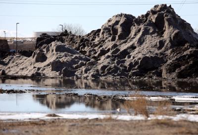
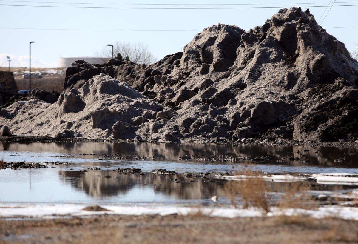
The NWS alert, released in coordination with the National Oceanic and Atmospheric Administration, said heavy precipitation in areas already dealing with remaining snowpack or swollen streams and rivers could cause flooding concerns, “especially near and downstream of existing snow drifts.” The flooding could be worsened by slow-moving rain showers.
Warm temperatures Thursday — just over a week after Wyoming was hit by a blizzard that dropped record snow in Cheyenne — were expected to melt snow and increase water levels.
People are also reading…

Widespread showers and thunderstorms are expected to start Friday afternoon, continuing into Saturday. The rain is expected to become snow Friday night in areas with elevation above 5,500 feet. Little to no accumulation is expected.
The NWS warns those living in areas prone to flooding to make preparations.