Britain could be set for the hottest February day in 178 YEARS this week.
The country will continue to be bathed in waves of warm air driving up from the continent with little change forecast.
The southerly flow, originating in Africa, is sweeping north with the UK positioned on the edge of a huge mass of high pressure parked across central and western Europe.
This will allow a sunny, dry and unusually mild weekend for many, with light winds and temperatures some degrees above-normal for the time of year.
Spring-like conditions will be felt cross large parts of the UK with temperatures between 5-8C above-average through the weekend - and the mild spell is expected to last into next month.
Most places will be dry for many days ahead but there is a risk of rain in the north and west.
Best of the weekend sunshine should be in East Anglia and the south-east of England where temperatures could climb into the high teens C.
Heatwave in Birmingham


The Met Office said: "Largely cloudy and in places misty at first with outbreaks of rain and drizzle across Wales, northwest England and western Scotland.
"However, most will become dry with bright or sunny spells, especially across northeast Scotland and the south.
"Feeling spring-like."
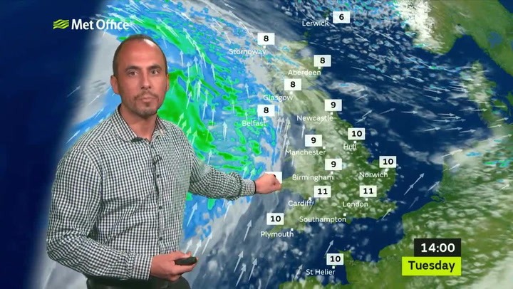
The Met Office's Grahame Madge said: “It's possible the UK's 19.7C February record will be broken on Friday or Saturday, if a location in the South-East has fog clearing and good sunshine.
“Scotland will challenge its 17.9C February record and could see a record 18C in Moray, north-east Scotland, on Thursday, with 15C in the Central Belt.
“A flow of air from the Canary Islands is bringing highs potentially 8-10C above average, with very, very nice conditions and extended sunshine. It stays mild into next week.”
Sunday will continue to feel mild with gentle south-easterly winds and variable cloud cover.
There will be some sunny spells with temperatures falling back very slightly towards the mid-teens C.
It will be a similar story for Monday with more sunny spells possible and the mercury edging back upwards to highs of 16C.
However, stubborn early fog patches could develop next week and there is a possibility of frosts in areas where it remains clear overnight.

A spokesperson for The Weather Channel said: “High pressure is expected to dominate our weather pattern over the next few weeks with dry and mild conditions although it will be cloudier with light rain at times over the north and west.
“This will lift temperatures 5 to 8C above normal for the time of year with maximum temperatures around 12 to 16C.
“A weak cold front will bring a slight dip in the temperatures over the weekend but they will still remain above-average.
“Next week high pressure will be centred over the North Sea and will continue to bring dry and sunny weather to Britain."
Met Office five-day forecast for Birmingham
A cloudy start with the odd spot of drizzle in the north of the region. However, most will be dry and it will turn increasingly bright through the day with some sunny intervals. With lighter winds it will feel spring-like. Maximum temperature 15 °C.
Tonight
Dry overnight with long clear spells at first. However, widespread low cloud and fog will develop, especially across central and southern areas. A colder night than of late. Minimum temperature 3 °C.
Friday
Fog and low cloud will clear through the morning, revealing a fine day with long spells of hazy sunshine. For most it will be exceptionally mild with a southerly breeze. Maximum temperature 15 °C.
Outlook for Saturday to Monday
Settled and dry throughout with spells of sunshine and patchy fog overnight. Generally remaining very mild, especially on Saturday, but some chilly nights.