There's a shivering shock on the way with a bitter easterly wind set to be dragged towards the UK by a huge mass of high pressure.
Freezing air originating in Russia will be pulled towards Britain by the ridge building close to southern Scandinavia.
It will signal the start of a prolonged spell of below-average temperatures in the run-up to the meteorological winter, starting in December.
The change in the weather will start to be felt after the weekend with much colder air banishing the southerly flow that has preserved the recent milder spell.
However, the drop in temperatures will really be noticed by midweek when the mercury falls quite sharply.
Wind chill from the easterly flow will make it feel even more raw.
There is also the risk of showers in the south and east and these could bring sleet or light snow, although it is unlikely to be heavy enough to cause any disruption.
Night frosts are likely and could become widespread at times.
Although many places should stay dry, showers are possible and some of these could be wintry on higher ground.

According to netweather.tv, snow showers could arrive in Dover as early as 6am on Wednesday (November 21).
Tunbridge Wells is predicted to get a snow shower between 9am and 12pm on Wednesday, while Sevenoaks is set to get it between 12pm and 3pm.
Snow don't look set to hit Folkestone or Thanet yet but both areas are forecast to be hit with sleet on the Wednesday.
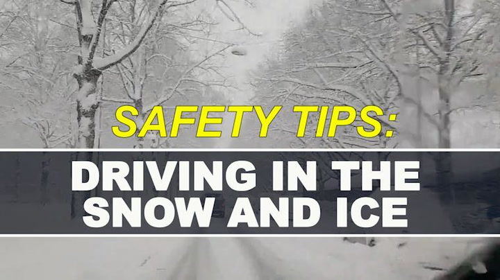
Hopefully the weather won't be bad enough for you to need this, but here's some tips on driving in the snow should it be necessary.
The outlook for the remainder of the month is quite similar, although there is a slight risk that any wintry showers could spread further north.
However, there is still uncertainty in the forecast with variations amongst computer models.
Kent Live headlines


A spokesperson for The Weather Channel said: “High pressure will start to ridge in from the east, bringing sunny and dry conditions over the weekend.
“Cloud amounts will increase next week with a risk of showers across the east, turning wintry across higher levels on Tuesday.
"Temperatures will start to decrease in the easterly flow, dropping to below normal from Monday."
Like the Kent Live Facebook page

To keep up to date with all the latest breaking news, stories and events happening across Kent and east Sussex, give the Kent Live Facebook page a like.
We will provide you with the latest traffic and travel updates, including updates on Southeastern train services, the Dartford Crossing, M25, M20, M2 and A21.
The latest breaking news will be brought straight to your news feed including updates from the police, ambulance and fire and rescue services. We will also bring you updates from our courts and councils, as well as more lighthearted long reads.
We also publish your pictures and videos, so do message us with your stories.
Like the Kent Live Facebook page here.
You can also follow us on Twitter here.