
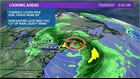
PORTLAND, Maine — A nor'easter is forecast to impact Maine in the middle of the week.
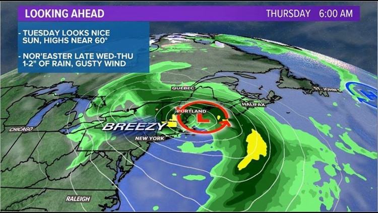
A progressive weather pattern will favor two areas of low pressure. One will be tracking over the Great Lakes, with a second low off of the mid-Atlantic coastline.
The low pressure strengthens as it moves closer to Maine, hitting the Maine coastline early Thursday morning.
Breezy conditions and steady rainfall are in the forecast starting late Wednesday night.
Wind gusts could reach as high as 40 mph. This will result in a lot of trees being stripped of leaves. Seas will also become rough through the middle of the week.
Rain totals are forecast to be between 1 and 2 inches, although a few isolated higher amounts may be possible under particularly intense rain bands.
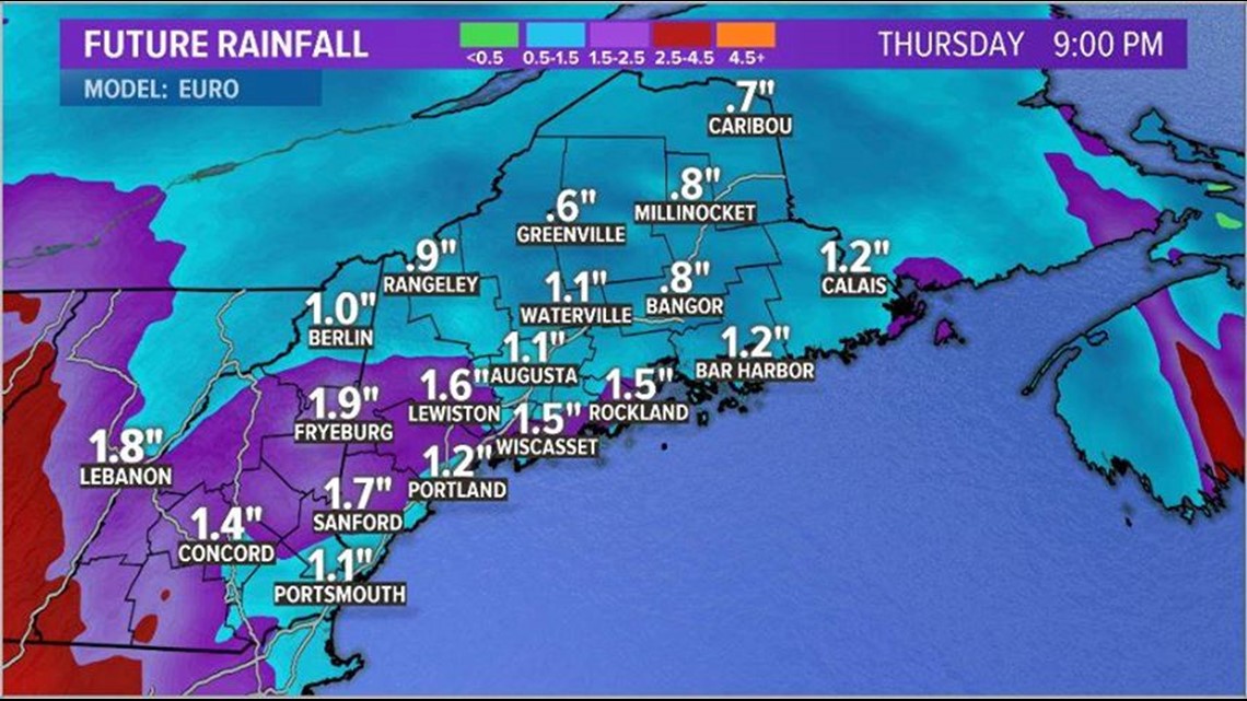
The rain totals will likely not cause high water issues in rivers and streams, though storm drains that get clogged with leaves may have issues draining. Ponding will be possible on some roadways.
Wet leaves also pose a risk to drivers. Leaves can cause slick conditions on roadways. It also takes longer for the roads to dry off after the rain rolls out.
Rain is expected to start late Wednesday and linger overnight into Thursday. The heaviest rain will likely take place Thursday morning and may have an impact on the morning commute.
Rain showers linger into the afternoon Thursday, but conditions improve rather quickly afterward.
Winds will pick up heading into the overnight hours Wednesday. Things stay windy into the day on Friday but calm down in time for the weekend.
