


The Mississippi River likely won’t be lapping a few feet from the tops of New Orleans levees like it did last hurricane season, offering welcome relief to a city already struggling with the coronavirus pandemic.
River levels in New Orleans are about 2.5 feet lower than the same time last year and are expected to drop in a few weeks and continue falling well into October, according to the National Weather Service.
“Levels will probably hang at 13 to 14 feet and then we’ll have some really good falls in June,” said Jeff Graschel of the weather service’s Lower Mississippi River Forecast Center.

While hurricane season officially begins Monday, two named storms have already developed in the Atlantic and a possible third could develop th…
New Orleans Mayor LaToya Cantrell said the prediction was welcome news.
“The river is going to continue to go down, which is great,” she said Monday. “That relaxes my anxiety a little bit.”
The city, still under partial shutdown due to the pandemic, is facing a $150 million deficit, possible layoffs and a flood management agency that is down $53 million from customers who have been unable to pay their bills. The Sewerage & Water Board doesn’t have enough money to replace a damaged drainage pump turbine, estimated to cost $20 million. But all 99 pumps are working, and other turbines should be able to keep the system running, Cantrell said.

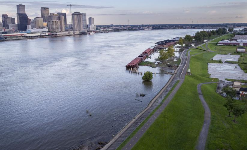
Locations in red are where levees along the Mississippi River are below 20 feet. Some locations are as low as 18 feet, according to the Army Corps of Engineers National Levee Database. Last year, Hurricane Barry threatened to rise to 20 feet at the Carrollton Gauge in New Orleans.
“We know we have challenges, and we’ve been working on our deficits,” she said, speaking during a conference call with weather forecasters and mayors of other cities along the Mississippi.
New Orleanians were doubly worried last summer when they faced both the risk of river flooding and a hurricane at the same time. Hurricane Barry in July threatened to shove the swollen Mississippi about 19 feet above sea level, just below the height of many levees in the area. High water and hurricanes don’t usually overlap, but that pattern may be altering. Climate change is increasing rainfall in the Mississippi River basin, lengthening the river's flood stage and pushing it into hurricane season. Add in the factors of rising seas and higher upriver levees, which constrict and concentrate downriver flows, and New Orleans could be at greater danger from flooding in the years to come.

Aerial of a pumping station along Lake Pontchartrain on July 11, 2019, ahead of the arrival of Hurricane Barry.
But probably not this year. The river’s highest water flowed by in April, weeks ahead of hurricane season, which officially began Monday.
“We’ve probably already seen our peaks in the lower Mississippi River,” Graschel said.
While the river is easing up on the city, the hurricane season isn’t. The National Oceanic and Atmospheric Administration is predicting a rough summer, with between 13 and 19 significant, or “named,” storms in the Atlantic Ocean, and up to 10 hurricanes. Three to six of the hurricanes could have wind strengths of Category 3 or higher.
Already, the weather service was watching a tropical depression that formed Monday in the southwestern Gulf of Mexico.
“The river will be at lower levels, but there’s plenty to keep our eye on when the hurricanes come,” Graschel said.

LAKE ITASCA, Minn. — America’s greatest river begins here, in the still waters of a lake cradled in the dark woods of Minnesota. If left to it…

DAVENPORT, Iowa — In early July 2014, the Mississippi flooded downtown Davenport, turning its minor league baseball stadium into an island. It…


