
After causing widespread damage to Rabi crops in Madhya Pradesh, the eastern parts of the state continue to receive widespread light to moderate rain and thundershower activities. The reason for these rains is the confluence of cold (dry) northerly winds and warm (humid) south-easterly winds, over the area.
According to rainfall data available with Skymet, on Thursday, Jabalpur recorded 5.8 mm of rain, Khajuraho received 5.2 mm, Rewa 9.6 mm, Satna 12.7 mm and Sagar recorded 1.2 mm of total precipitation.
Further crop damage predicted
We expect these rains to continue over many parts of East Madhya Pradesh for another 24 hours. A few places might even receive intense rain and thundershower activity with possibility of hailstorm. Some crops in the region may again get damaged due to the weather activity.
Tomorrow however, the confluence zone and rains will shift towards East and the weather will start clearing up.
Rain deficiency coming down
Since January Madhya Pradesh has received 59% less rains than the average figures. Gradually, this rain deficiency is set to improve due to the ongoing rains. The induced weather systems forming over Rajasthan due to upcoming back-to-back Western Disturbances in the North will bring in more rains over the entire area for the rest of the month.
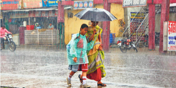
Image Credits – Absolute India
Any information taken from here should be credited to Skymet Weather
