The Mizoram government is likely to prepare a new political map of the state based on the boundary demarcation notified in 1875 under the Bengal Eastern Frontier Regulation, 1873.
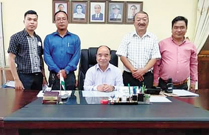
Leaders of the Joint Action Committee on Inner-Line Reserved Forest 509 Demand on Wednesday met chief minister Zoramthanga over border issue and suggested that the state government should draw a new political map of Mizoram as the existing map is topographically incorrect, the committee’s vice-chairman Raphael Lalrinmawia said.
He said the chief minister accepted the proposal to prepare the new map and entrusted the state’s apex student body, Mizo Zirlai Pawl (MZP), to do the task.
Earlier, the state cabinet had declared that the boundary demarcation, which includes the 509 square miles stretch of the Inner-Line reserve forest, notified in 1875 under the Bengal Eastern Frontier Regulation, was the actual boundary of Mizoram.
Zoramthanga also agreed to a proposal to prepare an official document, declaring the Inner-Line reserve forest a part of Mizoram, Lalrinmawia added.
The anti-corruption watchdog-turned-political party, the People’s Representation for Identity and Status of Mizoram (Prism), and the MZP had also asked the state government to draw a new political map, covering Mizoram’s entire territory, including the Inner-Line reserve forest areas.
The MZP, in a massive protest over the border issue here on July 19, had burnt the state’s existing political map, calling it erroneous.
The inner-line reserve forest is a disputed land claimed by both Mizoram and Assam.