Much of the country is being warned to expect strong winds and heavy rain that could bring some flooding on Tuesday.
Gusts of up to 75mph are possible overnight across northern and central portions of England and Wales, as well as on the eastern edge of Northern Ireland and the southern limits of Scotland. Rain is also expected to affect all of Northern Ireland and the south of Scotland in the evening.
The Met Office has put in place yellow weather warnings, which are the least extreme category, but says severe weather is possible and could cause travel delays and other disruption.
Almost half of the average rainfall for September could fall in six to nine hours from about 4pm on Tuesday, which “seems likely to lead to flooding of some sections of road and perhaps also properties”, the Met Office said.
Forecasters said the strongest winds were expected in the north-west of England, northern Wales and in small parts of Northern Ireland later on Tuesday evening and would move eastwards overnight.
The Met Office said: “Heavy rain will be an additional hazard, especially in the north of the warning area, resulting in especially difficult driving conditions. This warning has been expanded in area and with the likelihood of ‘medium’ impacts increased.”
Road, rail and air services may be affected with longer journey times and cancellations possible, along with some restriction to roads and bridges. There is also a small chance of power cuts, and some damage to buildings such as tiles blowing off roofs, the Met Office said.
Forecasters predicted as much as 4cm of rain in a short spell – approaching half of the near-10cm average for September. The warning for rain is in place between 4pm on Tuesday and 6am on Wednesday and that for wind is in place between 8pm on Tuesday and 10am on Wednesday.
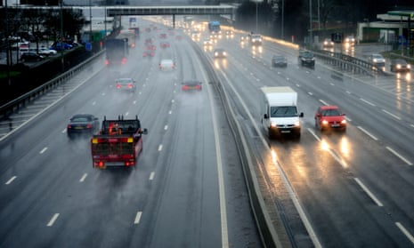
On Monday, flooding hit motorways, roads and railways in the north of England during morning rush hour.
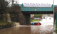
Motorists were left stranded in cars as localised flooding hit roads in Oldham, and further east of Manchester roads in Mossley were swamped by the deluge running off the Pennine hills into the town. There are no reports of injury or damage to property.
Replacement bus services were put on for TransPennine train services between Manchester Victoria and Huddersfield after the railway line at Stalybridge, Tameside, flooded.
Flooding also hit a section of the M60 motorway in Salford, with Transport for Greater Manchester urging drivers to take extra care due to the amount of water on the roads.


Comments (…)
Sign in or create your Guardian account to join the discussion