Rain is set to briefly dampen the UK’s potentially record-breaking summer before temperatures rise again into the weekend.
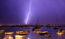
Showers are forecast to hit Northern Ireland and Scotland on Thursday afternoon and evening. They are expected to be more widespread on Friday and the Met Office has issued a yellow warning for south-east England, where slow-moving thundery showers could lead to flooding and transport disruption.
Rachael West, a Met Office forecaster, said: “A considerable number of people are going to see rain over the next 36 hours. It will be quite noticeable compared to the dry weather we have seen recently. Not everyone will see rain but where they do it could be heavy.”
The dry weather has led to a hosepipe ban in north-west England, which will affect 7 million customers from 5 August. A hosepipe ban was introduced in Northern Ireland on 29 June but was lifted from 12pm on Thursday.
The Environment Agency has said supplies in the rest of England should be sufficient if resources are managed properly. But it said the drop in river levels posed a threat to wildlife.
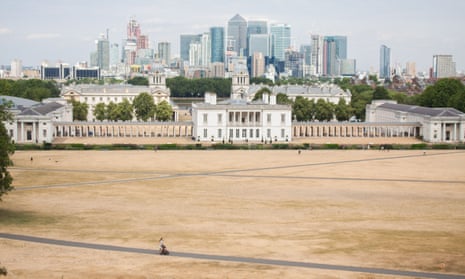
Satellite images of the UK taken in May and July respectively have shown the country rendered largely brown by the hot, dry weather.
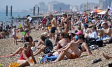
The respite is likely to prove short-lived. West forecasts that sunny, warm weather will return for most parts of the country, with the mercury potentially reaching 29C (84F) or 30C on Saturday and Sunday in the south-east, although there could be cloud and possibly rain in Northern Ireland and Scotland. It could be a sticky start to next week for commuters with temperatures possibly soaring even higher, into the low 30s.
The UK has had its driest start to a summer since 1961, with an average daily maximum temperature from 1 June to 16 July of 20.9C.
The highest daily maximum average for an entire summer (June, July and August) was 21C in 1976, when there were standpipes in the street, although it followed a hot summer the previous year and a particularly dry 12-month period.
The Met Office has said this summer could be record-breaking and even if the rest of July and August are average it will still be one of the 10 hottest summers on record.
